
2026 GR20 complete guide: the 16 stages of Europe's toughest trail
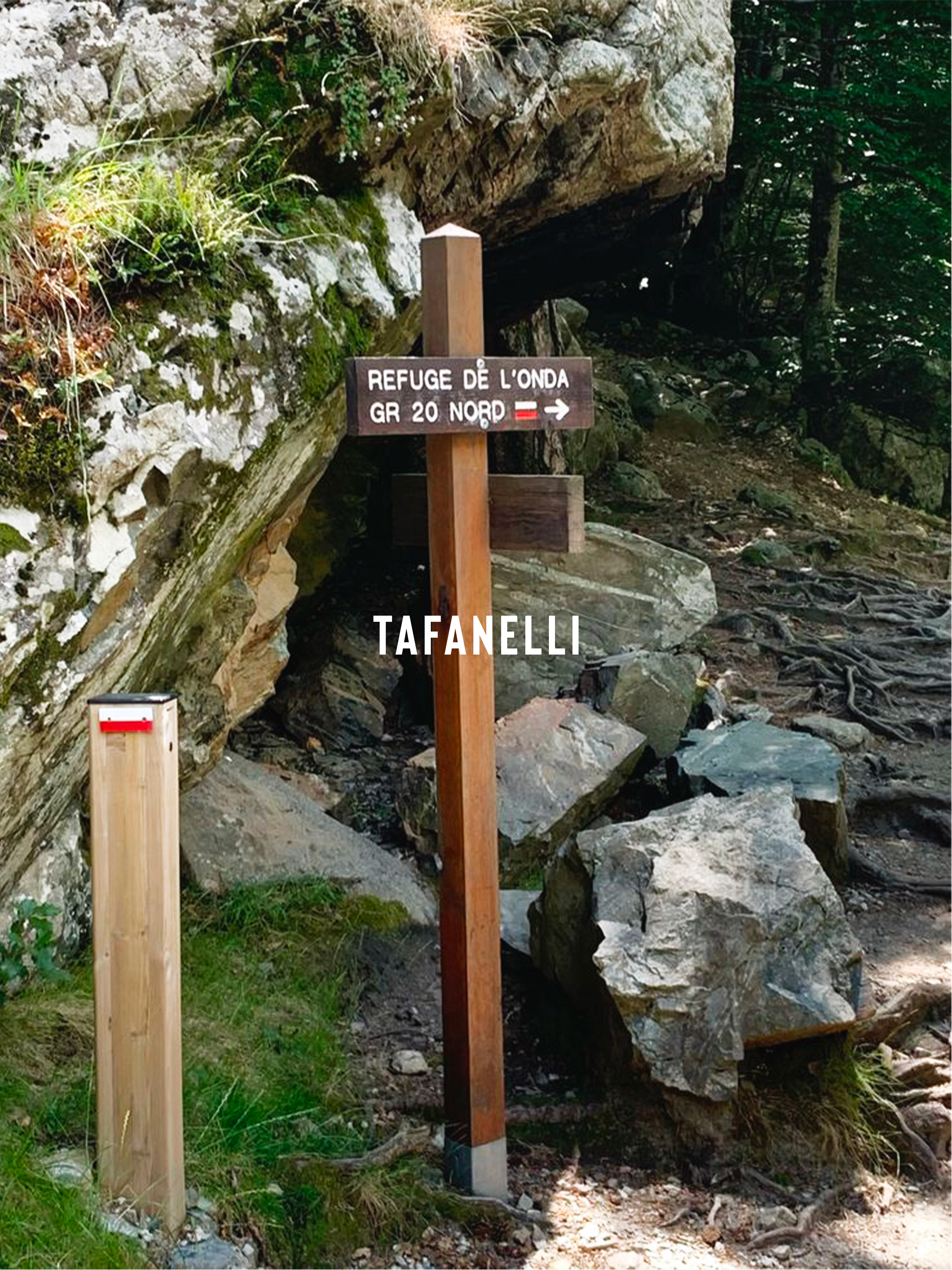
The GR20 is one of the most legendary long-distance hiking trails in the world. One hundred and eighty kilometers of granite ridges, twelve thousand eight hundred meters of vertical gain, sixteen stages across the backbone of Corsica. Every year, twenty thousand hikers attempt the adventure. Only half finish it. Here is the complete TAFANELLI guide to prepare for your 2026 crossing: the 16 detailed stages, booking mountain huts, the ideal backpack, mistakes to avoid, and everything you need to know before stepping onto the trail's first footstep in Calenzana.
The GR20 in 2026: what to know before you go
Before diving into the details of the stages, here are some essential benchmarks to frame your adventure. The GR20 is not an ordinary hiking trail. It is recognized as one of the most difficult long-distance hiking trails in Europe. The Corsica Regional Natural Park, which manages the route, insists on this point every year: proper physical and technical preparation is not an option; it is a prerequisite for a reasonable attempt.
Official GR20 statistics
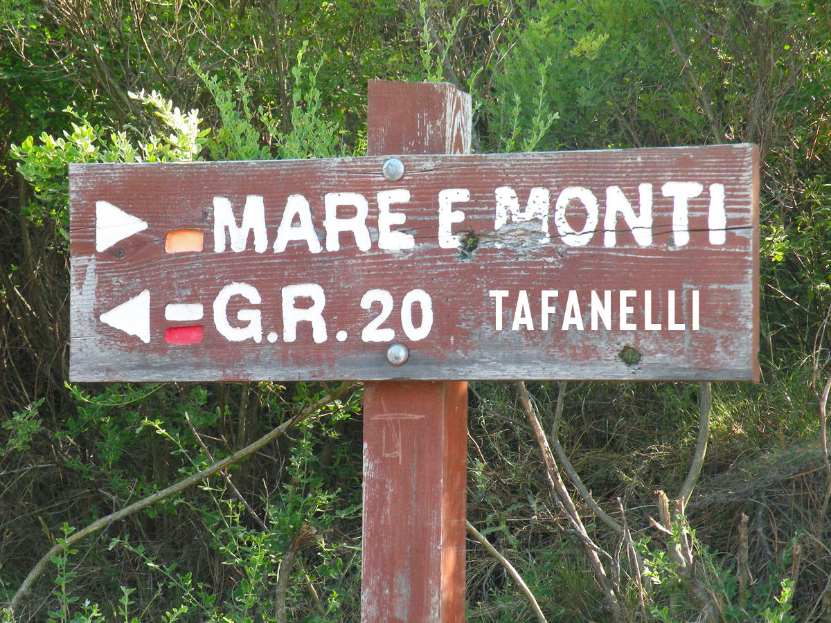
The trail is officially 176 kilometers long in its classic version, between Calenzana in Balagne and Conca in the Alta Rocca. Including technical variants and detours via optional summits (Monte Cinto, Paglia Orba), it reaches 180 kilometers. The total cumulative vertical gain is 12,800 meters, equivalent to one and a half ascents of Mount Everest from sea level.
The classic format consists of 16 stages, one per day, each ranging from 5 to 17 kilometers, with daily elevation changes between 500 and 1,400 meters. Some hikers choose to combine several stages to complete the trail in 12 or 13 days. Others prefer to spread it over 18 to 20 days to include rest days.
What the trail will demand of you
The GR20 combines three challenges that together make it a unique test. First, the technicality: many sections require the use of hands on rocks, with fixed chains in certain exposed areas. Then, the physical commitment: there are no easy escape routes in case of fatigue or injury, and the mountain huts are far apart. Finally, exposure to the elements: the ridges are battered by wind, lightning in summer, and snow at the beginning and end of the season.
This is not a trail for your first multi-day trek. Proper preparation involves having done at least a few 4 to 5-day hikes on rugged terrain before starting. Those who come without prior experience almost all end up dropping out in the first few stages.
A trail recently in the spotlight due to records
The GR20 has been the talk of the town in recent weeks. On July 9, 2026, French ultra-trail runner François D'Haene broke the trail record in 29 hours and 46 minutes, becoming the first person in history to break the 30-hour barrier. He reclaimed the title from Corsican Lambert Santelli, who held it since 2021 with a time of 30:25. We have dedicated a full article to this feat: François D'Haene breaks the GR20 record in 29h46, when Corsica becomes a land of legends.
North-South or South-North, how to choose
The first strategic choice to make is the direction of the route. The GR20 can be hiked in both directions, but the distribution of difficulties differs significantly, with major consequences for preparation.
The North-South direction, historical and demanding
This is the historical direction of the GR20, practiced by the majority of hikers. It starts in Calenzana in Balagne and ends in Conca in the Alta Rocca. This direction presents the hardest part first, with the high granite ridges of northern Corsica, the passages around Monte Cinto, and the high-altitude cirques at around 2,500 meters.
The advantage of this direction is that it allows you to discover the most spectacular part while you are still physically and mentally fresh. The downside is that it exposes beginners to maximum difficulty from the very first days, which explains the high dropout rate in the early stages.
The South-North direction, gradual
The reverse direction starts in Conca and ends in Calenzana. The difficulty is more gradual: the first stages in South Corsica are technically more accessible, allowing you to enter the trail gently, adapting to the terrain, the heat, your pack, and your pace.
This direction is highly recommended for hikers who have little or no experience with self-supported trekking, or who lack confidence in their preparation. The technical part arrives in the second half, once you are already accustomed to the terrain. The downside is that you finish in Calenzana, further from the main tourist arrival points.
Our recommendation
For a first GR20, the South-North direction is the most reasonable. For an experienced hiker or those who want the classic version, the North-South direction remains the benchmark. This guide details the stages in the North-South direction, but all information remains valid for both directions.
The 16 stages of the GR20 in detail
Here are the full details of the 16 classic GR20 stages in the North-South direction, from Calenzana to Conca. For each stage, we specify the distance, cumulative elevation gain and loss, average walking time, difficulty, and key points to know.
Stage 1: Calenzana → Ortu di u Piobbu Refuge
Distance: 10 km. Elevation: +1,400 m / -100 m. Avg time: 6 to 7 hours. Difficulty: very intense.
The first stage is one of the hardest of the entire trail. It starts at the village of Calenzana, in Balagne, and immediately climbs through the maquis, then the pine forest. The climb is constant, with no flat sections and scorching heat in summer due to the full southern exposure. Arrival at the Ortu di u Piobbu refuge, at 1,570 meters, comes after a full day of climbing. This is where many hikers realize what the GR20 is really like.
Stage 2: Ortu di u Piobbu → Carrozzu Refuge
Distance: 8 km. Elevation: +800 m / -800 m. Avg time: 6 to 7 hours. Difficulty: intense.
A short but technically engaging stage with several cabled sections during the descent toward Carrozzu (1,270 m). Crossing the Bocca Piccaia (1,950 m) offers the first panoramic views of Balagne and the distant sea. The Carrozzu refuge is nestled in a clearing by a stream, one of the most pleasant on the trail.
Stage 3: Carrozzu → Ascu Stagnu
Distance: 6 km. Elevation: +900 m / -600 m. Avg time: 6 to 7 hours. Difficulty: very intense.
The most legendary stage in the northern section. It crosses the Cirque de Bonifatu and the famous Spasimata passage, an inclined granite slab equipped with fixed chains and a monkey bridge to cross a stream. Then, a climb toward Bocca à u Bassiguellu before reaching Ascu Stagnu, the only real road stop on the trail, with a hotel-refuge and an inn accessible by road from Asco.
Stage 4: Ascu Stagnu → Tighjettu Refuge (or Auberge U Vallone)
Distance: 7 km. Elevation: +1,100 m / -1,000 m. Avg time: 7 to 8 hours. Difficulty: very intense.
The stage running along the Monte Cinto massif, Corsica's highest point at 2,706 meters. The trail passes by the Pointe des Éboulis (2,607 m) then descends toward the Tighjettu refuge. The summit of Cinto is accessible as a variant from the Pointe des Éboulis (1h round trip extra). Many hikers prefer to descend to the Auberge U Vallone, a bit lower down, for better overnight comfort.
Stage 5: Tighjettu → Ciottulu di i Mori Refuge
Distance: 7 km. Elevation: +900 m / -500 m. Avg time: 5 to 6 hours. Difficulty: moderate.
A shorter stage that allows bodies to recover. It goes through the Foggiale pass and joins the Ciottulu di i Mori refuge (1,991 m), one of the highest on the GR20, with a spectacular view of the Paglia Orba (2,525 m), the "legendary mountain" of the Corsicans. Paglia Orba is accessible as a variant (2 to 3h round trip) and is absolutely worth the effort.
Stage 6: Ciottulu di i Mori → Manganu Refuge
Distance: 16 km. Elevation: +600 m / -800 m. Avg time: 7 to 8 hours. Difficulty: moderate.
A long stage, but mostly downhill and traversing. The trail passes by the Radule sheepfold, a superb stop for fresh cheese and a piece of Corsican charcuterie, then runs along the high Niolu plateaus before reaching the Manganu refuge (1,601 m), at the foot of the Aiguilles rouges de Popolasca.
Stage 7: Manganu → Petra Piana Refuge
Distance: 11 km. Elevation: +900 m / -800 m. Avg time: 6 to 7 hours. Difficulty: intense.
Passing the Manganu pass (2,099 m), then descending toward Lakes Ninu and Capitellu, two of the most beautiful mountain lakes in Corsica. The trail then climbs back toward the Petra Piana refuge (1,842 m), one of the most frequented on the GR20 because it offers a legendary ridge variant.
Stage 8: Petra Piana → L'Onda Refuge
Distance: 13 km. Elevation: +500 m / -900 m. Avg time: 6 to 7 hours. Difficulty: moderate to intense.
A stage offering two options. The ridge variant, highly recommended in dry weather, passes via Bocca a i Sette Laghi and offers one of the most impressive panoramas on the trail, with views of the Mediterranean on one side and the entire mountain range on the other. The classic version, more sheltered, passes through the Manganello valley. Arrival at the L'Onda refuge (1,430 m), in the middle of a laricio pine forest.
Stage 9: L'Onda → Vizzavona
Distance: 11 km. Elevation: +800 m / -1,300 m. Avg time: 6 to 7 hours. Difficulty: moderate.
The last stage of the North section, reaching Vizzavona (900 m), the old Corsican railway station in the island's geographic heart. This is where many hikers stop, satisfied with having done the "GR20 North," and head back to Ajaccio or Bastia by train.
Vizzavona, the halfway point of the GR20, is the psychological and physical turning point of the trail. Those who continue beyond know they are embarking on a second adventure, with softer relief but longer distances and cumulative exhaustion.
Stage 10: Vizzavona → E Capannelle Refuge
Distance: 17 km. Elevation: +1,200 m / -600 m. Avg time: 7 to 8 hours. Difficulty: moderate.
A gentle resumption after Vizzavona. The trail climbs steadily through the pine forest and arrives at the E Capannelle refuge (1,586 m), a ski resort in winter and a stage stop in summer. The accommodation comfort is above the trail average.
Stage 11: E Capannelle → Prati Refuge
Distance: 16 km. Elevation: +700 m / -700 m. Avg time: 6 to 7 hours. Difficulty: moderate.
A stage running as a balcony along the high range, with alternating views of the eastern plain and the interior massifs. Crossing Bocca di Verdi. Arrival at the Prati refuge (1,830 m), with a spectacular sunset over all of South Corsica.
Stage 12: Prati → Usciolu Refuge
Distance: 10 km. Elevation: +900 m / -500 m. Avg time: 6 to 7 hours. Difficulty: intense.
A short but technical stage with the ascent of Monte Furmicula and the crossing of a cirque exposed to the wind. The Usciolu refuge (1,750 m) is perched on a ridge with a 360-degree panorama.
Stage 13: Usciolu → Asinau Refuge
Distance: 17 km. Elevation: +900 m / -900 m. Avg time: 8 to 9 hours. Difficulty: intense.
The longest GR20 stage on this section. It crosses the Coscione high plateaus, one of the strangest landscapes in Corsica, with its summer sheepfolds and herds of semi-wild horses. The Asinau refuge (1,530 m) is the last one before the Aiguilles de Bavella.
Stage 14: Asinau → Paliri Refuge (via Bavella)
Distance: 7 km. Elevation: +500 m / -700 m. Avg time: 5 to 6 hours. Difficulty: intense.
The legendary crossing of the Aiguilles de Bavella, seven rose-granite spires that stand like cathedrals above South Corsica. Two variants: the normal route, which bypasses the needles from below, and the alpine variant, which crosses them via an exposed passage with chains. The Paliri refuge (1,055 m) marks the entrance into the final part of the trail.
Stage 15: Paliri → I Croci Refuge (optional intermediate stage)
Distance: 8 km. Elevation: +200 m / -600 m. Avg time: 4 hours. Difficulty: easy.
A short optional stage to include if you wish to spread out the end of the trail. It passes through the holm oak forests of the lower Alta Rocca. The I Croci refuge is more modest than the others.
Stage 16: Paliri (or I Croci) → Conca
Distance: 12 km. Elevation: +200 m / -1,200 m. Avg time: 5 to 6 hours. Difficulty: moderate.
The final stage is essentially a long descent, which puts tired knees to a severe test. The trail passes through olive groves and arrives in Conca (250 m), a small village in the Alta Rocca. Most hikers then continue for a few kilometers to the sea for a ritual swim in the Mediterranean.
GR20 difficulty: what level to start at
The GR20 is classified as very difficult by the French Hiking Federation. Concretely, this means several things.
Required physical level
You must be able to hike 6 to 8 hours a day with a 10 to 12 kg pack, on rugged terrain with significant cumulative elevation changes, for sixteen days in a row. This is not a Sunday stroll. It is endurance over a long duration.
Good preparation requires at least three to six months of training, with long mountain outings, elevation gain, and leg and shoulder conditioning. Those who arrive without obvious preparation suffer starting from the third stage and often drop out before the sixth.
Required technical level
You must be comfortable with passages that require the use of your hands on exposed rocks, sometimes with fixed chains. This is not rock climbing, but "alpine hiking" in the strict sense. Those who have a fear of heights or have never walked on rocky terrain are exposed to major difficulties in certain sections, particularly around Monte Cinto and the Aiguilles de Bavella.
Profiles that fare well
Hikers who complete the GR20 without incident generally share three characteristics: serious physical preparation (regular hiking and mountain practice), prior experience with self-sufficient trekking (even on more modest trails like the GR10 or the Tour du Mont-Blanc), and humility toward the trail (knowing when to slow down, knowing how to listen to one's body, knowing when to give up if necessary).
The GR20 cannot be conquered. It is traversed with respect. Hikers who approach it with humility and good preparation come away transformed. Those who come to "defeat" it generally end up exhausted and disappointed, if they finish at all.
Booking mountain huts: instructions
Since 2019, booking GR20 huts is mandatory. It must be done exclusively online on the Corsica Regional Natural Park website. This mandatory booking has helped to better regulate flow and preserve the sites, but it requires rigorous organization.
When to book
The booking system generally opens in January for the current year's season (mid-June to mid-October). Spaces fill up extremely fast. To hike in July or August, you must book as soon as it opens, with your firm dates. Waiting three months after the opening usually means finding yourself without spots in several huts.
How to book
Booking is done on reservation.pnr.corsica. Each hut must be booked separately. You must have your complete itinerary with dates before beginning the booking process. A simple overnight stay costs about 15 euros, an overnight stay with half-board (dinner + breakfast) around 25 to 30 euros. You can also opt for bivouacking around the hut, which is cheaper (about 8 euros), provided you respect the designated area.
What the booking includes and does not include
The booking guarantees a spot in a dormitory or a bivouac pitch. It does not include sheets (to be rented on-site or brought as a sleeping bag liner), nor personal equipment. Half-board, when chosen, includes a single dinner and a breakfast served at a fixed time (often 7:00 PM and 7:00 AM). You must plan your own lunch, with the possibility of buying food at some huts.
Alternatives to official huts
At certain stages, there are paid alternatives outside the PNRC: private inns, mountain hotels, and stopover gîtes. This is particularly the case in Ascu Stagnu, Vizzavona, and E Capannelle, where you can choose more comfortable accommodation. These alternatives allow you to recover for a night in the middle of the trail, which can be invaluable.
When to go, the ideal window
The GR20 is hiked between mid-June and mid-October. Outside of this window, snow, the closing of huts, and weather conditions make the trail inaccessible or dangerous for hikers not equipped for mountaineering.
June, the start of the season
Huts open progressively from mid-June. Residual snow may still be present above 2,200 meters until the end of June, especially in years with heavy winter snowfall. Temperatures are mild (10 to 20 degrees Celsius during the day), and streams are well-fed with water. It is the favorite season for experienced hikers who want to avoid the crowds.
July and August, peak summer
The high season, with full huts, busy trails, and sometimes stifling daytime heat. Temperatures can rise to 30 degrees Celsius in the sun on exposed ridges, and over 40 degrees on the ground. Afternoon thunderstorms are frequent, with a risk of lightning on the ridges. You must leave early in the morning (5:00 or 6:00 AM) to reach the next hut before the storms.
September, the best time
For many hikers, September is the ideal month. Temperatures have dropped (15 to 25 degrees), storms are rarer, huts have more availability, and the colors turn golden. Be careful, however: from September 15th, the days shorten significantly and you must leave earlier and earlier to arrive before nightfall. Some huts close at the end of September.
October, the end of the season
A short and uncertain end to the season. The first snows can fall as early as mid-October on the ridges. Huts close progressively. From October 15th, you need to be experienced and well-equipped to attempt the trail.
The ideal backpack, 10 to 12 kg maximum
The weight of the pack is the number one variable for success on the GR20. A pack that is too heavy breaks your legs, slows you down, multiplies daily fatigue, and significantly increases the risk of giving up. A well-thought-out pack makes the difference between a successful experience and a survival experience.
Target weight
For an average hiker, the total pack weight (with water and daily rations) should weigh:
- Men: 12 to 14 kg maximum, ideally 10 to 12 kg.
- Women: 10 to 12 kg maximum, ideally 8 to 10 kg.
- Every extra kilo beyond these targets is a real handicap.
The essentials
Here is the minimum backpack list for a GR20 stay in huts (dormitory or bivouac):
- A 40 to 50-liter backpack, no more, no less.
- A lightweight sleeping bag (+5°C comfort is enough in summer).
- A sleeping bag liner (silk or cotton sheet).
- An inflatable mattress if you are bivouacking (optional if in a dormitory).
- A pair of high-top hiking boots, tested and broken in.
- Lightweight shoes or flip-flops for the evening at the hut.
- A lightweight rain poncho or waterproof jacket.
- Two breathable technical t-shirts + a thin fleece.
- Lightweight hiking pants + shorts.
- A cap (essential sun protection).
- A bandana or buff (multi-purpose).
- Two pairs of hiking socks + a spare pair.
- A basic first aid kit (blister bandages, pain relievers, antihistamine).
- A headlamp.
- A water bottle of at least 2 liters or a hydration system.
- Daily food (bars, dried fruit, dry sausage, cheese).
- Telescopic trekking poles (highly recommended).
What NOT to bring
Eliminate without hesitation:
- Excess clothing: two t-shirts and a pair of shorts are enough; wash them regularly.
- Heavy photography gear (a smartphone is enough).
- A 400-page book (Kindle if really necessary).
- Cosmetics: Marseille soap and solid shampoo, that's all.
- The "just in case" items: every object must have a real planned purpose.
Alternatives, partial routes, and flexible formulas
The full GR20 is not the only way to experience the trail. Several alternative formulas allow you to enjoy it without necessarily completing all sixteen stages.
The North GR20 only
From Calenzana to Vizzavona, this is the most spectacular part of the trail, with its high-altitude cirques, Monte Cinto, and high ridges. Nine stages, about 90 kilometers. A complete adventure in a week.
The South GR20 only
From Vizzavona to Conca, it's gentler and easier to hike, with the Aiguilles de Bavella as the highlight. Seven stages, about 90 kilometers. Ideal for a first self-sufficient trek.
The Mare a Mare Trail
Not the GR20, but an alternative trail that crosses Corsica from west to east. Shorter, more varied in landscapes (mountains, villages, seaside), and technically more accessible. Ideal for those who do not want to commit to the full GR20.
The GR20 with luggage transfer
For several years, various providers have offered luggage transfers from hut to hut. You hike with a small backpack (5-7 kg), and your belongings wait for you in the evening at the hut. This is a way to make the trail accessible to those who cannot carry a heavy pack, while preserving the experience on the ground.
The GR20 as a competition
For trail runners, several organized competitions use all or part of the GR20: Restonica Trail in Corte, Corsica by UTMB which includes sections of the GR20, as well as independent record attempts like those of Lambert Santelli and François D'Haene. A subject we have covered in detail in our article François D'Haene breaks the GR20 record in 29h46.
Classic mistakes to avoid
Of the 20,000 people who attempt the GR20 each year, about half drop out. The mistakes that cause people to quit are often the same, year after year.
Mistake 1: setting off without serious physical preparation
This is the #1 cause for quitting. The GR20 is not a trail for improvising. A minimum of three months of sustained training, including long mountain hikes, is essential. Those who show up after a gym membership and a season of urban running break down after three stages.
Mistake 2: setting off with new shoes
Blisters are the #2 cause for quitting. A new pair of shoes, however good it is technically, will destroy your feet. You need at least 100 kilometers of prior walking in your shoes before committing to the GR20.
Mistake 3: overloading the pack
A pack that is too heavy kills your shoulders, knees, and back, and significantly increases fatigue. Every item in the pack must have been weighed beforehand and evaluated based on its expected real utility. "Just in case" is your worst enemy.
Mistake 4: underestimating summer heat
In July and August, the heat can be stifling on exposed ridges. You must leave very early in the morning (5:00 or 6:00 AM), drink plenty (at least 3 liters per day in summer), and plan for shorter stages to avoid arriving at the hut in the afternoon furnace.
Mistake 5: neglecting the weather
High-altitude thunderstorms are violent and dangerous. You must check the weather every evening at the hut (bulletins are generally posted) and adapt your departure for the next day. Never start a ridge traverse if a storm is forecast during the day.
Mistake 6: refusing to listen to your body
A developing blister, a nagging knee, abnormal fatigue: these are signals to listen to, not to ignore. A rest day in Vizzavona or a shortened stage can save a GR20 trip, whereas ignoring fatigue leads to quitting within five stages.
After the GR20, where to recover in Corsica
You have finished your GR20. You are drained, happy, transformed. Here are some TAFANELLI suggestions to extend your trip and recover in the most beautiful places on the island.
South Arrival in Conca: Southern Corsica
If you finish in Conca, Southern Corsica awaits. Head to the wild beaches of Roccapina, Pinarellu, and Palombaggia for a recovery swim. Our 20 most beautiful wild beaches in Corsica 2026 will guide you. For a more sophisticated evening, head to Domaine de Murtoli in the Ortolo Valley or the Grand Hôtel Cala Rossa in Porto-Vecchio.
North Arrival in Calenzana: Balagne
If you finish in Calenzana, head to Balagne. The beaches of Calvi, the unique light of Île-Rousse, and the perched villages of Sant'Antonino and Pigna. Our complete guide to Balagne covers everything you need to see. For a memorable evening, head to Chez Tao in the citadel of Calvi.
The cultural bridge: Bastia and the Eastern Plain
To extend the Corsican experience beyond sport, head to Bastia and the East Coast. Season 2 of Plaine Orientale, the Canal+ crime series by Pierre Leccia, is being filmed this summer. The city has transformed into a movie set. Our guide to the 15 unmissable things in Bastia allows you to discover the city like a local.
The TAFANELLI wardrobe for the GR20
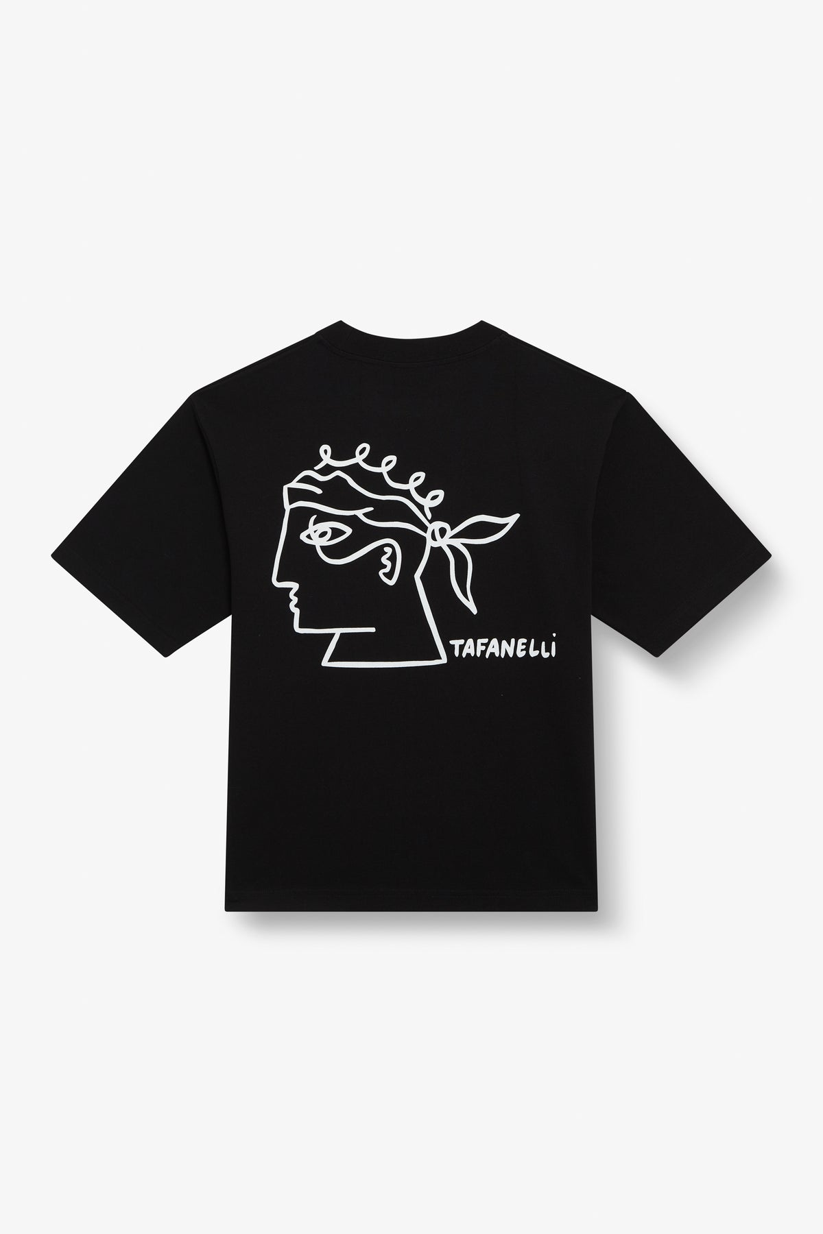
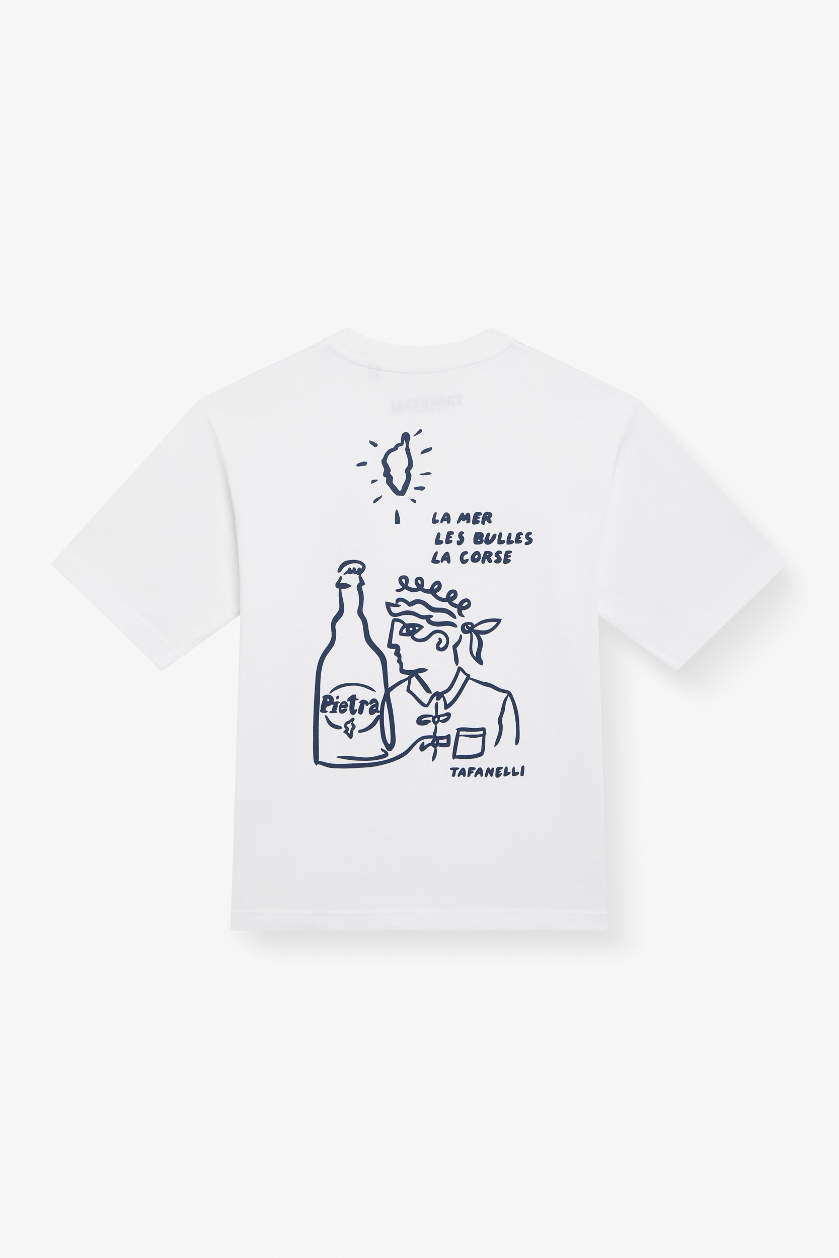
At TAFANELLI, we don't manufacture technical trail clothing. We make clothes for those who love Corsica. But our 280 g/m² Made in France cotton has a great story to tell on the GR20, on the sidelines of the trail, at starting points, at recovery stages, and at the finish line. Here are our pieces that go well with the traverse.
The Calvi Diver t-shirt, for Balagne
Our Le Plongeur de Calvi t-shirt tells the story of Balagne, the sea, and the light of the Northwest. It's the perfect piece for Calenzana, the night before departure. A t-shirt to put on after leaving your new boots next to your pack.
The Corsica 1755, for Vizzavona and post-effort
Our Corsica 1755 bears the year of the Corsican Constitution. The quintessential identity t-shirt to wear in Vizzavona when you have finished the North GR20, or in Conca at the final finish. A garment of pride after the effort.
The Méditerranée Club Shark cap, for all stages
Our Requin Méditerranée Club cap protects against the sun on the ridges. Pre-washed cotton, soft structure, stiff visor. An accessory that is genuinely useful on the trail, from the very first stage.
The Corsican Bandana, the multi-purpose accessory
Our Corsican bandana is probably our most versatile piece for the GR20. On your forehead, it absorbs sweat. Around your neck, it protects from the sun. In your hair, it holds back strands. Wet it and wear it around your wrist when you get too hot, and it cools you down. A square of fine cotton that is essential in any backpack.
The Roccapina, the post-effort jacket
Our Roccapina waxed jacket is the piece for the evening, when the chill rises on the terraces of Conca, when you have finally descended, when you just want to sit facing the sea and breathe. A statement jacket for your post-effort return.
Continue the discovery
To delve deeper into the world of Corsica, from trekking to culture to the Mediterranean wardrobe, here is a selection of TAFANELLI editorial articles that complement this one:
- François D'Haene breaks the GR20 record in 29h46: when Corsica becomes a land of legend
- Plaine Orientale season 2 filmed in Bastia: the Corsica that finally tells its own story
- The 20 most beautiful wild beaches of Corsica 2026
- Balagne: 2026 complete guide to discovering Northwest Corsica
- Calvi: 2026 complete guide
- The Corsican cultural agenda Summer 2026
- The 2026 complete guide to Corsican wines
- Why TAFANELLI, the contemporary Corsican brand
The GR20 is much more than just a hiking trail. It is an inner journey, a rite of passage, a moment when Corsica takes hold of you and returns you transformed. Every hiker who has completed it speaks of it with a special emotion, often years later. This is the trail that built Corsica's reputation in the international hiking world, and it is the trail that continues, year after year, to attract the best trail runners on the planet.
Whether you are preparing for your GR20 for 2026, 2027, or for a more distant day, take the time to prepare it well. The trail does not yield to those who approach it casually. It offers itself to those who await it, respect it, and know how to listen to it day after day. At TAFANELLI, we are proud to carry, on our own modest scale, the story of this Corsica that tests and transforms.
To discover our entire current collection, head to tafanelli.fr. Free delivery in metropolitan France, same-day shipping for all orders placed before 2 p.m.
A PRESTU,
TAFA