Monte Cintu, the roof of Corsica: a complete guide to the ascent
At 2,706 meters, Monte Cintu is the highest point in Corsica. An ancient red rhyolite volcano, a completely mineral world, and from the summit a view that embraces the entire island, from the Tyrrhenian Sea to the coast of the Balagne. Here is the complete guide: the two ascent routes, the real difficulty, the best season, equipment, and mistakes to avoid.
Monte Cintu at a glance
Monte Cintu (Monte Cinto in Italian) peaks at 2,706 meters. It is the highest summit in Corsica and the highest point of all the islands in the western Mediterranean.
It stands in Upper Corsica, in the municipalities of Asco and Lozzi, in the heart of the massif that separates the Niolu valley from the Asco valley. It is the highlight of the "vertical Corsica," the kind beach visitors don't suspect: a high-mountain island set in the sea, where you go from the maquis to snow in just a few hours of hiking.
From its summit, on a clear day, the view covers the entire island, from the Agriates in the north to the southern ridges, with the sea on both sides. It is one of the few places where you can physically grasp what Corsica is: a mountain in the sea.
They often say that Corsica is a mountain in the sea. At the summit of Cintu, it's no longer just a figure of speech: you can see the water on both sides just by turning your head.
An ancient rhyolite volcano
Cintu is not a limestone or granite mountain like much of the rest of the island. It is an ancient volcanic massif, made of rhyolite, a light-to-reddish rock formed from ancient lava flows.
This geology changes everything for the hiker. Rhyolite is a friable, crumbling, unstable rock. The summit slopes are covered in shifting scree where feet slip and stones easily slide away. It is not a technical difficulty in the sense of rock climbing, but it is a real physical and mental challenge, especially on the descent.
The visual result, however, is striking: a completely mineral world, without trees, in shades of red and ochre, very different from the Bavella Needles or the green valleys of the Restonica.
South route: from Lozzi and the Erco refuge
This is the most classic route, and generally the safest for a first ascent.
- Start: Lozzi, in the Niolu, at around 1,000 m altitude.
- Elevation gain: approximately 1,750 m.
- Duration: expect 8.5 hours round-trip for a trained hiker.
- Itinerary: long approach walk past the Pinta Pinzuta sheepfolds, then the Cesta sheepfolds, up to the Erco refuge. About 5 km of approach, then 2 km of pure, steep, and mineral ascent.
The advantage of this route: the climb is gradual, the terrain remains clear for a long time, and the Erco refuge makes it possible to break the ascent into two days. It is by far the best option if you are not a seasoned mountaineer: spend the night at the refuge, leave at dawn, reach the summit in the morning cool.
North route: from Haut-Asco
The second route starts from Asco-Stagnu (Haut-Asco), the old ski resort, at about 1,450 m.
- Elevation gain: from 1,400 to 1,700 m depending on the chosen variation.
- Character: sustained and continuous effort, wild terrain, steep passages where you use your hands.
- Waymarks: the route is less obvious than the southern path, requiring careful navigation through the rocky chaos.
This is the route for regulars. It starts higher, so the approach is shorter, but it is steeper, more committing, and more exposed to route-finding errors. Haut-Asco is also a well-known stage of the GR20, making it a convenient starting point for those doing the thru-hike.
The real difficulty
Let’s be clear: Cintu is not a family hike. It is not mountaineering in the summer, either. It is a major mountain trek that requires endurance, sure-footedness, and some experience.
- Length: 8 to 10 hours of effort depending on the route and pace.
- Terrain: unstable scree, boulders, passages where you need to use your hands.
- Lack of shade: almost no shelter above the sheepfolds.
- Water: springs are rare and often dry in summer. You must carry your own water.
- Orientation: in foggy weather, navigation becomes difficult.
- The descent: this is where most accidents occur. Tired knees plus rolling stones.
Every summer, hikers are rescued on Cintu, often for the same reason: starting too late, insufficient water, late-afternoon thunderstorms. Three perfectly avoidable mistakes. Let us remember that mountain rescue services mobilize the same teams involved in the island's fires and emergencies, such as the SIS2B: setting out prepared is also a form of respect.
When to make the ascent
- June to September: the standard window, when the snow has melted.
- June and September: the best compromise. Bearable temperatures, clear air, fewer people.
- July and August: possible, but the heat is overwhelming and late-day thunderstorms are frequent. A departure before sunrise is mandatory, reach the summit before noon, and start the descent early.
- October to May: winter conditions, snow, and ice. Mountaineering endeavor reserved for equipped and experienced individuals.
Always check the mountain weather forecast the day before and the morning of. In Corsica, a blue sky at 7 AM says nothing about the sky at 3 PM.
Equipment and safety
- Hiking boots with ankle support and deep-lugged soles. No sneakers.
- Minimum 3 liters of water per person in summer.
- Sun protection: hat, sunglasses, sunscreen. At 2,700 m with no shade, the sun hits twice as hard.
- A warm layer and a windbreaker: it can be 15°C colder at the summit, with wind.
- A breathable t-shirt that dries quickly, and a dry change of clothes for the summit.
- Trekking poles: very useful for the descent in the scree.
- Headlamp for a night start, map and GPS track, charged phone.
- Tell someone your route and expected return time.
Frequently asked questions
What is the altitude of Monte Cintu?
2,706 meters. It is the highest summit in Corsica and the highest point of the islands in the western Mediterranean.
How long does the ascent take?
Approximately 8.5 hours round-trip via the south route from Lozzi, with 1,750 m of elevation gain. Count on a full day, or two days with a night at the Erco refuge.
Is Monte Cintu difficult?
Yes. Without being technical in summer, it is a long mountain trek on unstable terrain, with no shade or water, and passages requiring the use of hands. Reserved for hikers in good physical condition with sure-footedness.
Can I do it without a guide?
Yes for an experienced hiker, in good weather conditions, via the south route. For a first time, if in doubt about the route or outside the summer season, a mountain guide is a real plus.
Is Monte Cintu on the GR20?
No, the summit is not on the trail, but the GR20 passes through its massif, notably via Haut-Asco. Some hikers do the summit as a variation from Asco-Stagnu.
The Corsican mountains and TAFANELLI
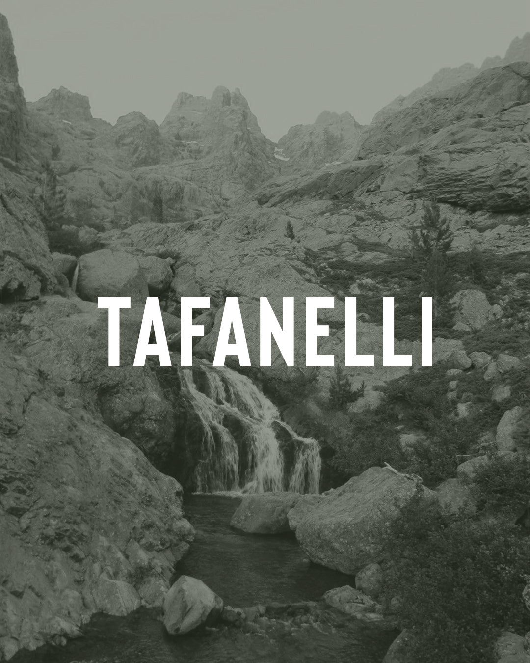
Cintu is the muntagna in its purest form: the hardest and proudest part of the island, the one you don't see from the beach. At TAFANELLI, it is one of the three pillars of our world, along with the sea and the maquis: mare, muntagna, machja.
It is also what guides us in how we make our pieces. A mountain like that admits no approximation: not with shoes, not with water, and not with departure times. We design our clothing in the same way, using hand-screen printing, 280 g/m² premium organic cotton, made in France, to last for years rather than just one season.
The wardrobe for those who climb:
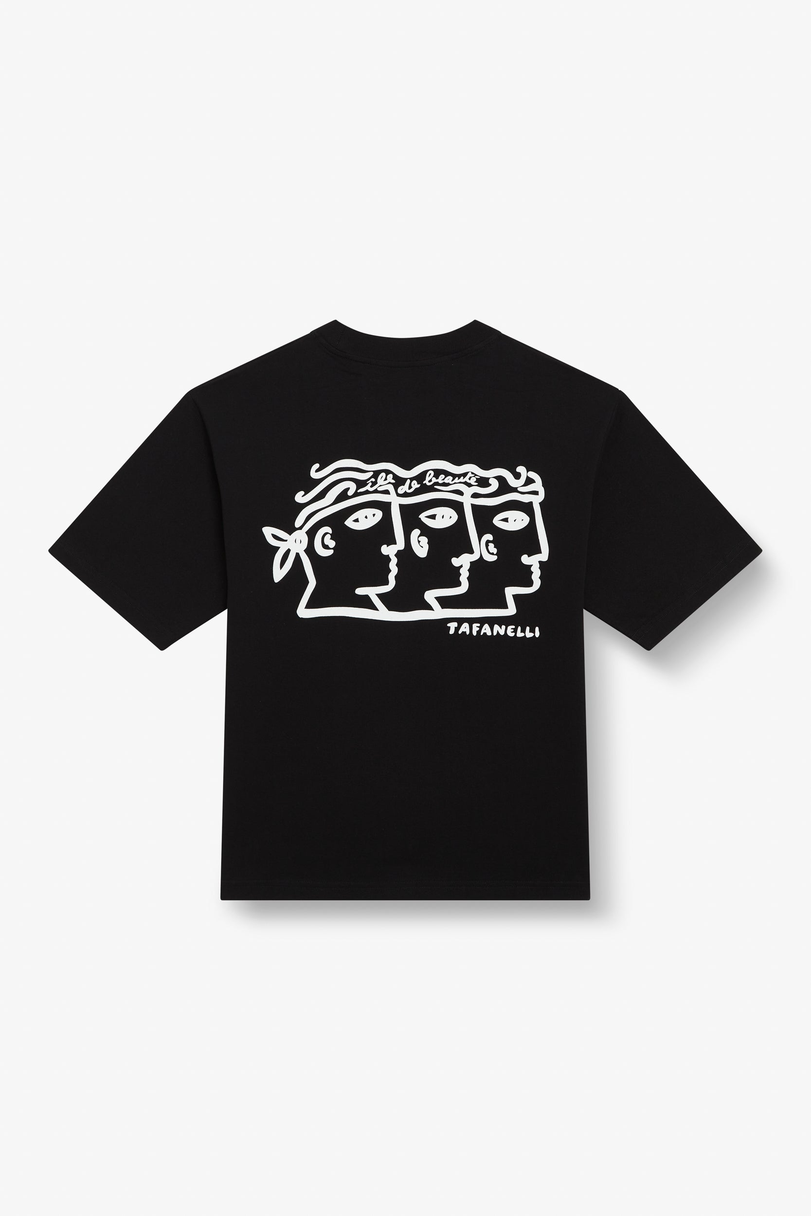
- The La Trinità t-shirt: mare, muntagna, machja.
- The "Corsica 1755" t-shirt: island pride.
- The TAFANELLI cap: indispensable above 2,000 m.
To continue exploring vertical Corsica:
- The GR20, complete 16-stage guide
- The Restonica and the lakes of Corte
- Bavella and its Needles
- The Spelunca gorges and the Aïtone forest
- Shepherds and transhumance
- TAFANELLI, Corsican brand and Mediterranean wardrobe
When passing through Corsica, the customer becomes a friend.
A DOPU,
TAFA